CyANWeb Tool Helps Monitor Water Quality to Detect Early Warning Signs of Harmful Algal Blooms

Published June 22, 2022
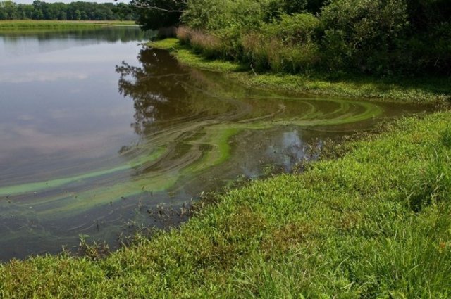
Cyanobacteria, also called blue-green algae, occur naturally in many water bodies, but when they multiply, they can form harmful algal blooms (HABs) which can increase drinking water treatment costs for communities and impact recreational areas such as lakes.
To notify communities about potential HABs, EPA researchers created CyANWeb, an online tool that can help federal, state, tribal, and local partners identify when a HAB may be forming where people swim, fish, or boat. The tool uses satellite data to alert users based on specific changes in the color of the water in over 2,000 of the largest lakes and reservoirs across the United States, making this important information accessible to water quality managers, communities, and anyone interested in knowing more about water quality in their area.
CyANWeb was developed as the latest effort in EPA’s CyAN partnership with researchers at the National Aeronautics Space Administration (NASA), the National Oceanic and Atmospheric Administration (NOAA) and the U.S. Geological Survey (USGS). The tool uses historical and current satellite data to develop daily and weekly images that serve as an early warning system for HABs, which can help federal, state, tribal, and local partners in their efforts to monitor and assess water quality. It can also help lake managers identify when a HAB may be forming.
CyANWeb is easy to use and has features that lets users view comparisons of multiple water bodies over time and mark locations for future reference. Deron Smith, EPA physical scientist and CyAN team member, said the team is currently wrapping up development of new enhancements to CyANWeb, and has begun beta testing the new features with key user groups.
“We’ve been working to add bulk location data download capabilities, waterbody statistics, and waterbody statistic reports to CyANWeb that will be publicly released in the near future,” Smith said. “These new features are important because they will allow water managers to see the current state and trends for entire waterbodies, not just for a single point.”
Users can access CyANWeb using a desktop computer, tablet, smart phone, and most other devices that can be used to browse the internet. CyANWeb uses the same satellite data that was previously only available within the CyAN Android™ app, which was released by EPA in 2019. CyAN Android™ is available for download in the Google Play™ store for Android™ devices.
For more information on EPA’s CyANWeb, visit: www.epa.gov/water-research/cyanapp
Related Links:
