Real Time Geospatial Data Viewer (RETIGO)
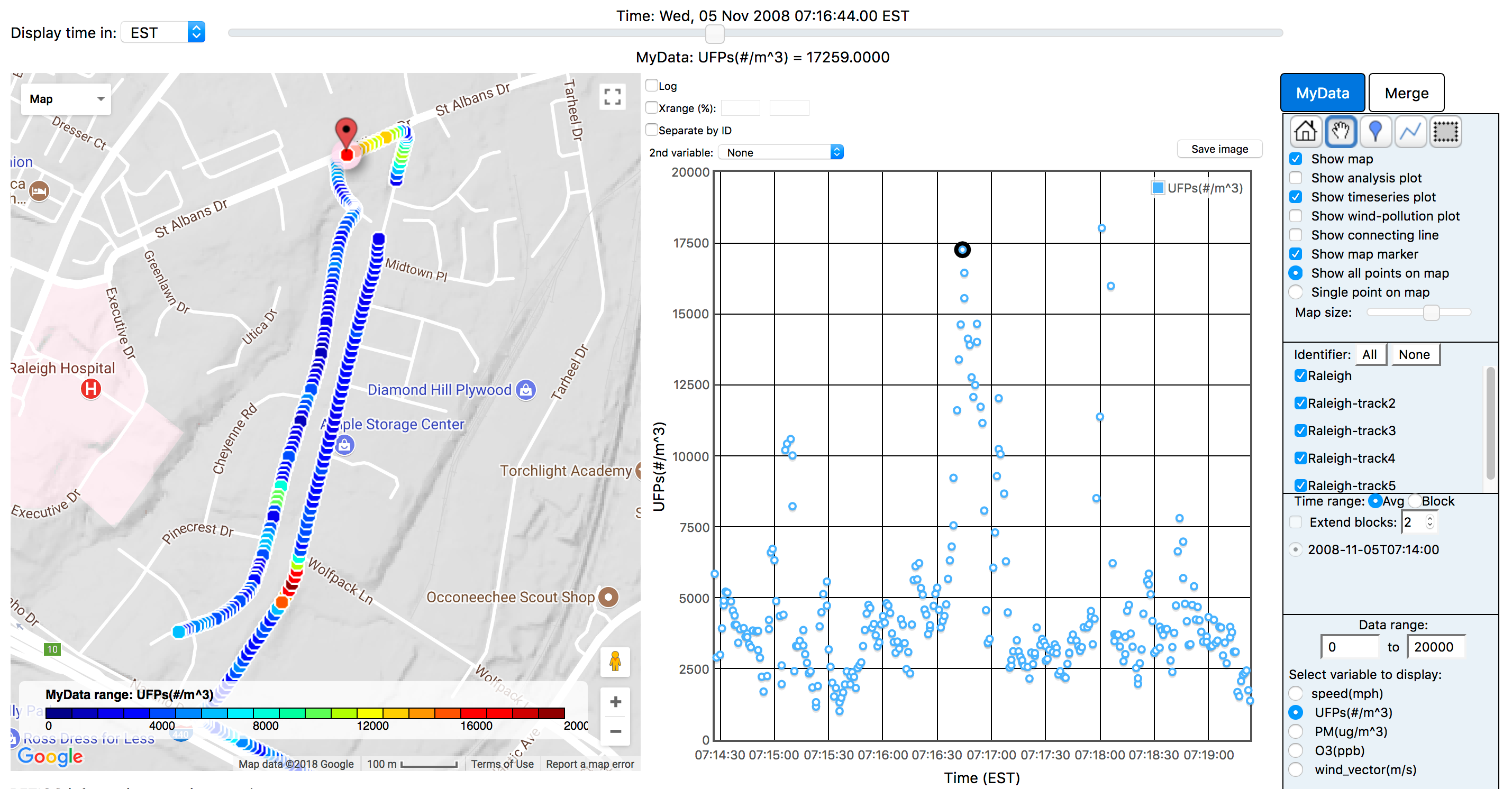
REal TIme Geospatial Data Viewer (RETIGO) is a free, web-based tool that can be used to explore environmental data that you have collected either stationary or in motion (e.g., air quality sensors added to a bike).
- RETIGO allows you to add data from nearby air quality and meteorological stations.
- RETIGO can be used by anyone to explore data that they collected, but it does not move the data from the user’s computer, unless you decide to post your data to the RETIGO data repository.
- To collect the data, monitoring equipment is needed and ranges in price from ten dollar sensors, on up to professional grade equipment costing tens of thousands of dollars.
EPA's Air Monitoring, Measuring, and Emissions Research site has an array of information on emerging technologies for air monitoring. RETIGO reads plain text data files, which can be either space or comma delimited.

