Supplemental GIS Files
This page provides access to additional geospatial data used by the EPA RPS Team as part of HUC12 indicator calculations. The datasets are provided as a reference for users who are interested in learning more about the HUC12 indicators and for users who would like to complete additional analysis.
Water Mask

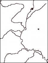
The Water Mask is a raster dataset that depicts the presence of surface water features (rivers, lakes, reservoirs, estuaries, wetlands, oceans) on the landscape for the contiguous U.S.
The Water Mask dataset was created by combining surface water features from the National Land Cover Dataset (NLCD) and the National Hydrography Dataset Plus (NHDPlus) Version 2.
Wetness Index

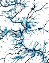
The Wetness Index is a raster dataset for the contiguous U.S. that provides a relative measure of average soil moisture and runoff potential based on topography and landscape position. The Wetness Index is also referred to as the Topographic Index in scientific literature.
The Wetness Index dataset was generated from the National Elevation Dataset (NED) and Flow Accumulation rasters in the NHDPlus Version 2. For each grid pixel in the dataset, the Wetness Index is calculated as: 100*(ln(Flow Accumulation/tan(Slope)) + 3x3 mean of ln(Flow Accumulation/tan(Slope))/2.
Due to the large size of the Wetness Index raster, it cannot be offered for download on this site but is offered as a map service.
Riparian Zone

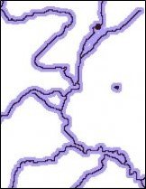
The Riparian Zone is a raster dataset that depicts the corridor of land adjacent to surface waters. The Riparian Zone was delineated by applying a 108-meter buffer around each side of surface water features in the Water Mask.
Hydrologically Connected Zone

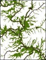
The Hydrologically Connected Zone (HCZ) is a raster dataset that depicts the location of wet areas with high runoff potential that are contiguous to surface water. The HCZ raster was generated for the contiguous U.S. using the Wetness Index and Water Mask datasets described above. The Wetness Index was first used to identify wet areas, defined as grid pixels with a Wetness Index of 550 or greater. The HCZ was then defined as wet pixels, which were also contiguous to surface water in the Water Mask.
